
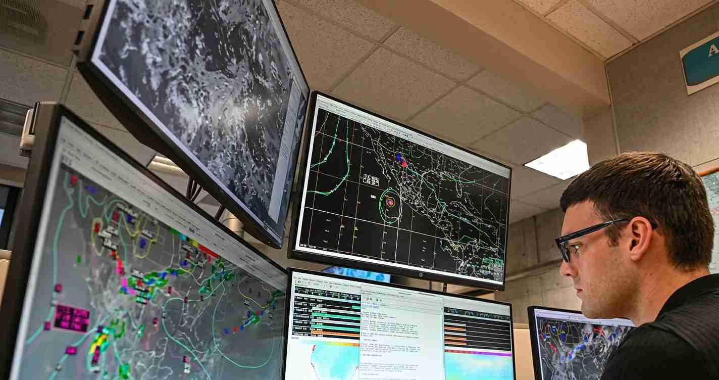
NOAA predicts below-normal 2026 Atlantic hurricane season as strong El Niño looms
NOAA released its 2026 Atlantic hurricane season outlook, forecasting a below‑normal season with a 55% chance of reduced activity and expected 8–14 named storms, 3–6 hurricanes, and 1–3 major hurricanes amid a likely El Niño.
Key takeaways
- Below‑normal odds: NOAA assigns a 55% chance of below‑normal activity, 35% near‑normal, 10% above‑normal (NOAA outlook).
- Forecast ranges (70% probability): 8–14 named storms, 3–6 hurricanes, 1–3 major hurricanes (NOAA forecast ranges).
- El Niño expected: NOAA’s May assessment places about 98% chance of El Niño during the core season, a major suppressor of Atlantic storms (NOAA ENSO outlook).
What NOAA’s forecast says
NOAA’s official outlook frames the 2026 season as likely below‑normal. The 55% probability of below‑normal activity combines statistical models, physical reasoning, and observed ocean conditions. Forecasters explain that a developing El Niño tends to increase wind shear, making it harder for Atlantic storms to organize — an influence that could outweigh warmer‑than‑average Atlantic sea surface temperatures (NOAA hurricane outlook).
Probability framing: NOAA assigns each range a 70% likelihood, meaning forecasters see strong odds the counts will fall within the 8–14 named storms and 3–6 hurricanes windows. NOAA emphasizes that a below‑normal season does not mean no risk: a single storm can still cause major damage (NOAA outlook and discussion).
“Even seasons with fewer storms have produced major landfalling hurricanes.” — NOAA outlook discussion
How El Niño affects Atlantic hurricanes
El Niño is the warm phase of the El Niño–Southern Oscillation (ENSO) and occurs when central and eastern tropical Pacific waters become warmer than average. This alters global atmospheric circulation and typically increases vertical wind shear over the Atlantic, which disrupts tropical cyclone formation and intensification (NOAA ENSO explainer; NOAA Ocean Service; NWS ENSO resources).
Timing matters: NOAA’s May assessment placed ~98% odds of El Niño during the core hurricane months; if El Niño strengthens into a strong or “Super” event, its suppressing influence could be larger and longer lasting. However, an El Niño that forms later in the summer would suppress fewer storms (NOAA ENSO/hurricane outlook).
NOAA versus Colorado State University
Colorado State University’s April outlook was broadly similar to NOAA’s: CSU forecasted 13 named storms, 6 hurricanes, and 2 major hurricanes, and noted a likely “Super El Niño.” CSU’s April numbers were the fewest it has predicted since 2019; CSU’s early‑year forecasts often serve as an independent check on government outlooks (Coverage of CSU’s outlook).
Both NOAA and CSU point to El Niño as the dominant factor. NOAA also notes that Atlantic sea surface temperatures remain above average; in other years, warm Atlantic waters have supported active seasons, but this year NOAA judges El Niño likely to overcome that boost (NOAA).
Climatology and uncertainty
Climatology provides averages but not exact timing. Historically, the first named storm forms around June 20 and the first hurricane near August 11, but those are averages and can shift based on ENSO timing and other factors (reporting summary).
NOAA stresses that outlooks provide ranges and probabilities rather than certainties. The agency combines statistical models, global climate models, and historical analogs to weigh sea surface temperatures, wind shear, and large‑scale ocean cycles. Emergency planners and residents should prepare regardless of seasonal forecasts (NOAA outlook; ENSO explainer).
Why this matters: impacts and preparedness
A below‑normal season reduces the overall probability of many storms but does not eliminate the risk of a destructive landfall. Historical seasons show a few storms can cause the bulk of damage. Emergency managers and residents should maintain preparedness measures.
- Preparedness basics: evacuation plans, a 3‑day supply kit, written communication plans for family and neighbors (NOAA guidance).
- Insurance & property: review policies and secure property — coastal homeowners and small businesses remain most at risk.
- Public messaging: clear, nonpartisan local communication should stress what the NOAA outlook means and does not mean; focus on practical steps and seasonal water outlooks.
Implications for Las Vegas, Nevada
Although Las Vegas is far from the Atlantic, the NOAA outlook and a strong El Niño have several local implications for Southern Nevada residents and agencies. Below are key areas to watch:
- Water and drought: Strong El Niño events often bring above‑average winter precipitation to parts of the southern U.S. and the Southwest; for Las Vegas this could mean a wetter‑than‑normal winter and benefits to reservoirs and water supply. Local water managers should monitor seasonal precipitation forecasts and reservoir studies (NOAA ENSO resources; NOAA Ocean Service).
- Heat and wildfires: Suppressed Atlantic hurricane activity does not reduce Nevada heat risk. Officials should continue planning for hot, dry summers that elevate wildfire danger and maintain mitigation and vegetation management.
- Emergency management: A below‑normal Atlantic season could reduce demand for Nevada mutual aid sent east after landfalls, but planners must remain ready because one major storm can strain national response systems.
- Travel and economy: Fewer East Coast storm disruptions could benefit Las Vegas travel and conventions, though disruptions elsewhere (eastern or central Pacific) could still affect flights and supply chains.
- Public information: City and county leaders should present clear, practical guidance on preparedness and seasonal water outlooks that matter for Nevada residents (NOAA preparedness guidance).
Sources and further reading
- NOAA 2026 Atlantic hurricane season outlook
- NOAA ENSO explainer
- NOAA Ocean Service El Niño/La Niña facts
- National Weather Service El Niño/La Niña
- Coverage of CSU April outlook and commentary
This reporting draws on NOAA’s official forecast and ENSO assessments and compares them with independent academic outlooks to provide context for readers in Las Vegas and nationwide.
